<!DOCTYPE HTML PUBLIC "-//W3C//DTD HTML 4.01 Transitional//EN" "http://www.w3.org/TR/html4/loose.dtd">
<html>
<head>
<title> Google map </title>
</head>
<body onload="onLoad();">
<script src="http://maps.google.com/maps?file=api&v=2&hl=en&key=" type="text/javascript"></script>
<script type="text/javascript">
var gmarkers = [];
var htmls = [];
// global "map" variable
var map;
// This function picks up the side_bar click and opens the corresponding info window
function myclick(i) {
gmarkers[i].openInfoWindowHtml(htmls[i]);
}
// This function zooms in or out
// its not necessary to check for out of range zoom numbers, because the API checks
function myzoom(a) {
map.setZoom(map.getZoom() + a);
}
function onLoad() {
if (GBrowserIsCompatible()) {
// this variable will collect the html which will eventualkly be placed in the side_bar
var side_bar_html = "";
var i = 0;
var baseIcon = new GIcon();
baseIcon.iconSize=new GSize(15,24);
baseIcon.shadowSize=new GSize(24,24);
baseIcon.iconAnchor=new GPoint(0,12);
baseIcon.infoWindowAnchor=new GPoint(12,0);
var martini = new GIcon(baseIcon, "http://labs.google.com/ridefinder/images/mm_20_gray.png", null);
//var martini = new GIcon(baseIcon, "/img/hotel/check.png", null, "/img/hotel/check.png");
function createMarker(point,html,icon) {
var marker = new GMarker(point,icon);
GEvent.addListener(marker, "click", function() {
marker.openInfoWindowHtml(html);
});
return marker;
}
// create the map using the global "map" variable
map = new GMap2(document.getElementById("map"));
map.addControl(new GOverviewMapControl());
map.addControl(new GLargeMapControl());
map.addControl(new GMapTypeControl());
map.addControl(new GScaleControl());
map.enableDoubleClickZoom();
map.setCenter(new GLatLng(37.55544,127.07590), 15, G_NORMAL_MAP);
//Map Type : G_NORMAL_MAP, G_SATELLITE_MAP, G_HYBRID_MAP by Ribbie
// add the points
var point = new GLatLng(37.55544,127.07590);
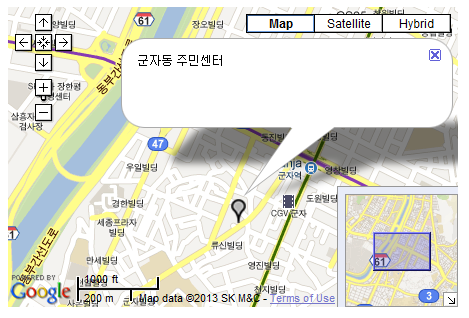
var marker = createMarker(point,"<div align='left' style='font-size:12px;width:300px;'>군자동 주민센터</div>",martini)
map.addOverlay(marker);
}
else {
alert("Sorry, the Google Maps API is not compatible with this browser");
}
} // end of onLoad function
</script>
<div id="map" style="width:450px; height: 300px" ></div>
</body>
</html>
- [2015/12/28] 구글맵 v3 단순 다중 마커 (배열이용) (10276) *2
- [2015/02/05] 구글맵 마커 + 말풍선 - v3 (3281) *2
- [2014/08/04] 구글맵 v3 맵상에 보여지는 마커만 생성하기 (7603) *5
- [2014/07/17] 구글맵 v3 - 마커 + 말풍선 + GPS 연동+ 원그리기 + 동적 마커 생성( Ajax + Json ) (16932) *25
- [2013/10/18] Google Places API를 이용한 주변 지역 정보 검색 (21313) *26
 geocode - 주소로 위경도 검색 v3
 geocode - 구글 맵 위경도 검색 v2


